

Wharf Stream Way
Wharf Stream Way
Couldn't load pickup availability
An original painting in watercolour, size 730mm x 520mm
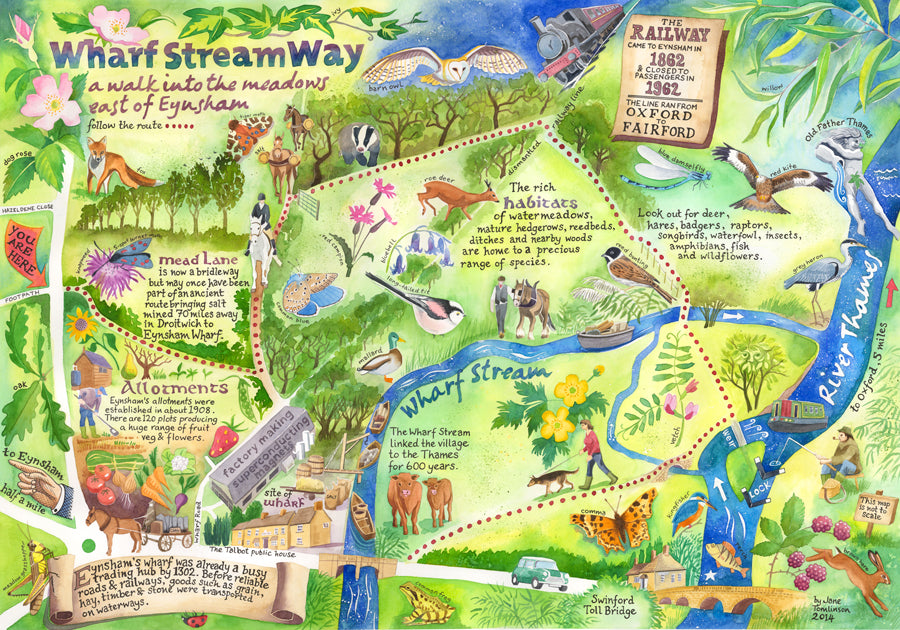
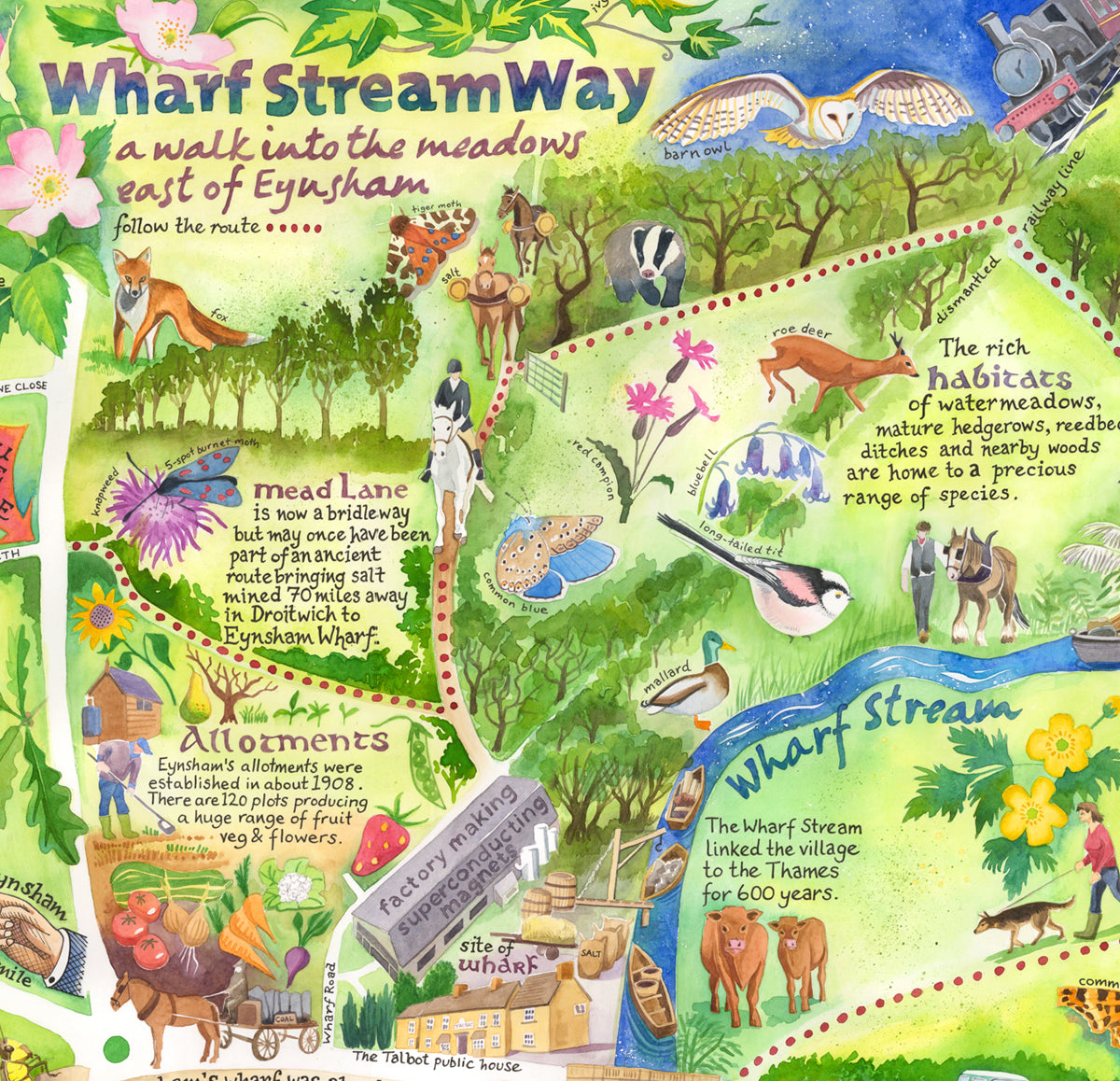
The Wharf Stream Way is a new permissive footpath through the fields and paths to the east of the village of Eynsham, Oxfordshire, where I live. This painted map of the route, commissioned by West Oxfordshire District Council, is on an interpretation panel at the start of the walk. The panel gives walkers an idea of what they can spot as they walk, and the history of the various tracks and features to be encountered on the route.
Wharf stream history
The Wharf stream itself is a naturally occurring watercourse which was adapted as a flash lock sometime in the 14th century. The stream was part of an important trade route, linking Eynsham's busy wharf with the river Thames 600 metres away, and out into the wider world for 600 years, carrying goods into and out on small craft. Before reliable roads and railways, goods such as hay, grain, timber and stone were transported on waterways - there was no other way.
The route of the Wharf Stream Way crosses the route of the now (sadly) dismantled railway which came to Eynsham in 1862 and closed to passengers in 1962. The line ran from Oxford to Fairford via Witney. Would that someday a line (railway, tram - I don't care) would re-open and alleviate some of the congestion on the A40! Perhaps someday it will...
My painted map features Mead Lane - which many locals call Mud Lane for obvious reasons - is is now a bridleway but i believed to have once formed part of an ancient route bringing salt mined in 70 miles away in Droitwich to Eynsham wharf for wider distribution.
Wildlife
What I love best about the route is that although it is less than a mile long, it passes through rich wildlife habitats. Watermeadows, mature hedgerows, reedbeds, ditches and nearby woodlands are home to a precious range of wildlife. All the species I have illustrated I have seen around Eynsham: roe deer, hares, badgers, as well as kingfishers, kites, songbirds, waterfowl.
Other installations - including carved waymarkers, footpath improvements and rustic seating have been added to the Wharf Stream Way. Walk slowly and quietly: there are some many things to learn about and enjoy in our quite ordinary, yet very beautiful landscape.
Shipping and delivery
Shipping and delivery
This website takes orders from UK, Ireland, France, Germany, Denmark, US, Canada, Australia and New Zealand.
If you are not in these countries and you would like to make a purchase, please get in touch with me directly.
Posting your order
Typically, orders for physical products placed after 12pm on Friday, and on Saturday or Sunday will not be posted until Monday at the earliest. I use Royal Mail to dispatch your order.
If you have ordered multiple items, I will try to post everything together. Occasionally, this is not possible, in which case they will be dispatched in separate packages.
Digital files will typically be transferred to customers within 24 hours via email using WeTransfer, the file transfer website.
Buying an original painting? Please choose the tracked option!
UNITED KINGDOM (incl. Channel Islands, Isle of Man)
- UK Royal Mail second class – 3 to 5 working days (can be longer at busy times of year)
- UK Royal Mail tracked next day special delivery – next day by 1pm
If you choose a tracked delivery, I will be notified with your Royal Mail tracking number when your parcel has been dispatched.
INTERNATIONAL ORDERS
IMPORTANT! All international orders are shipped duties unpaid. Orders shipped outside of the UK may be subject to customs, taxes and duties. This cost is the responsibility of the customer and is payable on receipt of goods. Please check your local customs tax and duty costs as duties must be paid before the goods are released.
USA and CANADA
Royal Mail International Tracked service (7-14 days)
AUSTRALIA and NEW ZEALAND
Royal Mail International Tracked service (7-14 days)
EUROPE (Rep of Ireland, France, Germany and Denmark only)
Royal Mail International Tracked service (7-14 days)

-
My art is for everyone
By selling my work directly to you, rather than through galleries or agents, we both get a better deal.
-
FREE P&P to UK addresses
My prices include second class postage and packing to UK addresses.